Object Oriented

Art, Archaeology, and the Pursuit of Happiness

Main menu

Skip to primary content
Skip to secondary content
  • Home
  • About

Post navigation

← Previous Next →

Contour Maps with Processing

Posted on February 25, 2011 by Alexander Brey

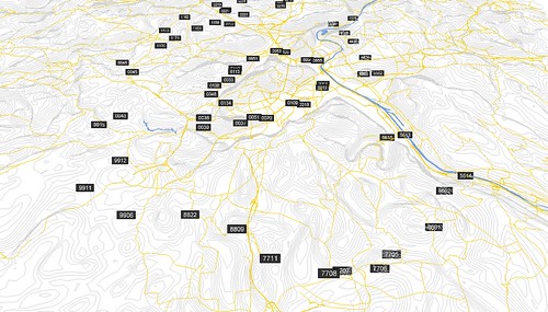
We live in a beautiful world where German design studios accidentally help archaeologists figure out how to make contour maps from satellite DEMs using java (ok, Processing, but same thing).

http://www.onformative.com/lab/creating-contour-maps/

This entry was posted in digital humanities and tagged cartography, processing, tutorial, visualization by Alexander Brey. Bookmark the permalink.

Recent Posts

  • Blogging the V&A Samarra Material
  • Of Conferences and Coins
  • Reimagining Museums: Practice in the Arabian Peninsula
  • Happy Eid!
  • Artozia and the Politics of Archaeology

Categories

  • archaeology
  • architecture
  • art
  • ceramics
  • codicology
  • digital humanities
  • epigraphy
  • geography
  • history
  • irresponsibly illustrated
  • literature
  • museum studies
  • pedagogy
  • religion
  • Uncategorized
Proudly powered by WordPress